Scaling The Summit Of Mount Dinor? Read This First

Hanging Bridge at Pilan River


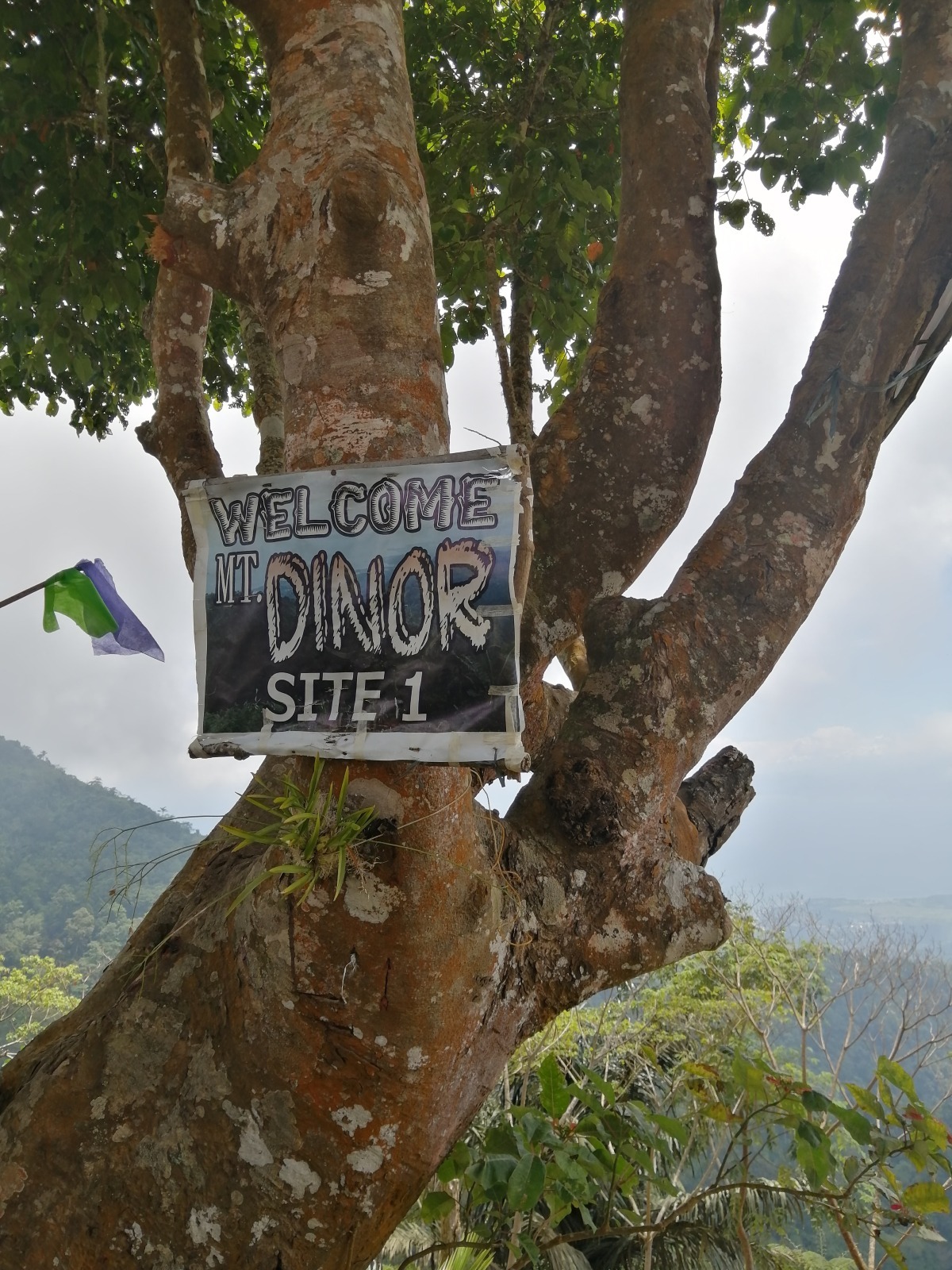
The Municipality of Santa Cruz in the province of Davao del Sur continues to amaze me with wondrous hiking attractions. With mountain ranges traversing across its vast geographical area, it is not surprising that there are plenty of trails waiting for every type of outdoor adventurer to discover – just like the one we tried recently, Mount Dinor.

As an occasional hiker, I found scaling the summit of the 1,274 masl Mount Dinor a pretty challenging one. While it may not be comparable to the neighboring Mount Apo in terms of the level of difficulty, I confess that my experience hiking to the peak was not a walk-in-the-park thing. My team started the day hike at around 6 AM; we got back at around 7 PM. The whole duration of the trek was 12 hours, give or take, traversing a 9-kilometer rugged, unfriendly terrain through the summit and back. Of course, that included several stops along the way for rest and photos.

WATCH:


Things to know before your hike

Now, if you are planning to do a Mount Dinor hike, continue reading. I am giving more information that may come in handy for you. Below are the things you should know before your hike to be 100% prepared for this adventure!

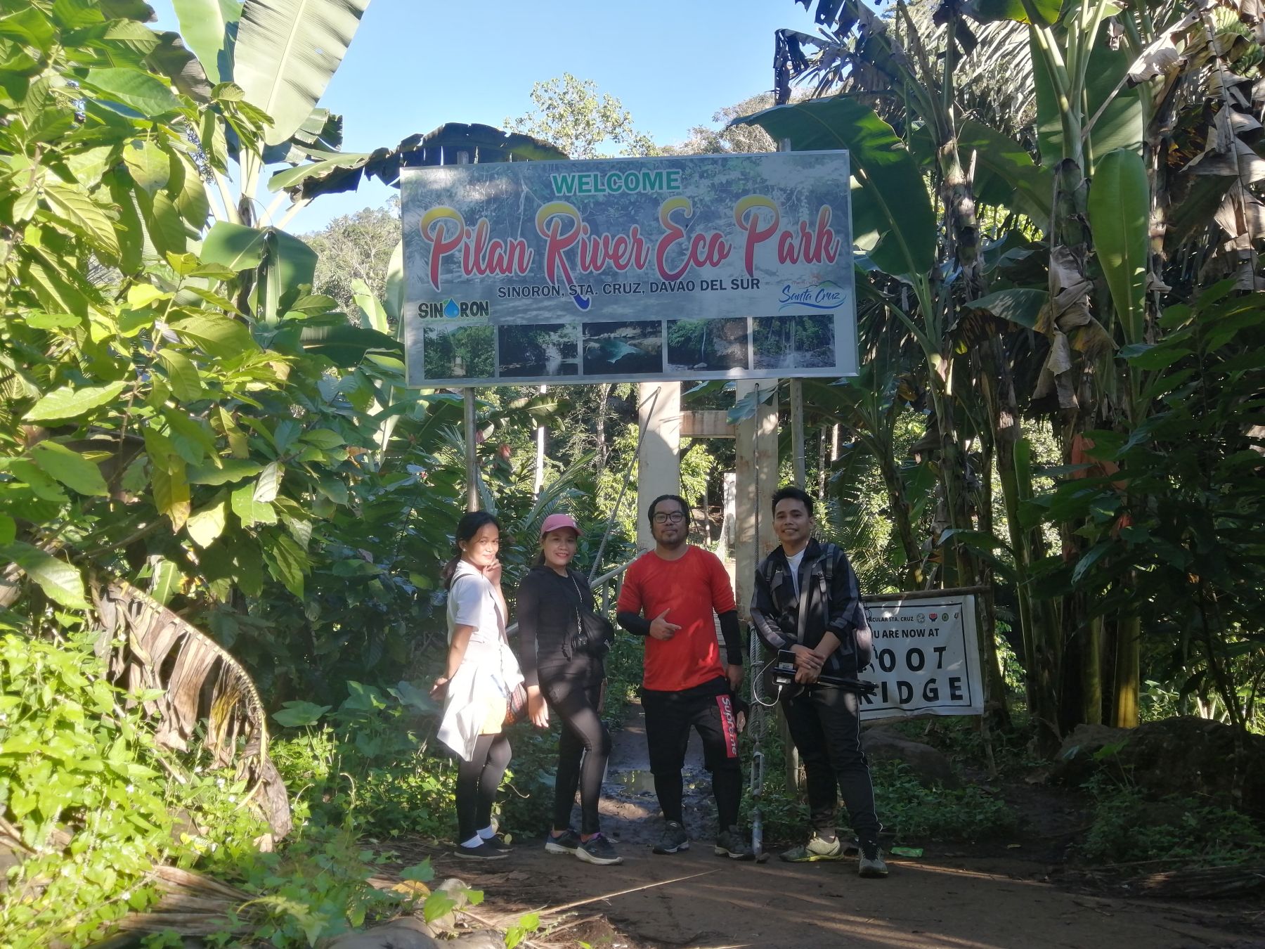
First, you need to register.

Registration Area For Mount Dinor Hike - Brgy. Sinoron
The registration is at the Brgy. Sinoron Gym, where you will pay a registration fee of 50 pesos and undergo some orientation about your hike.

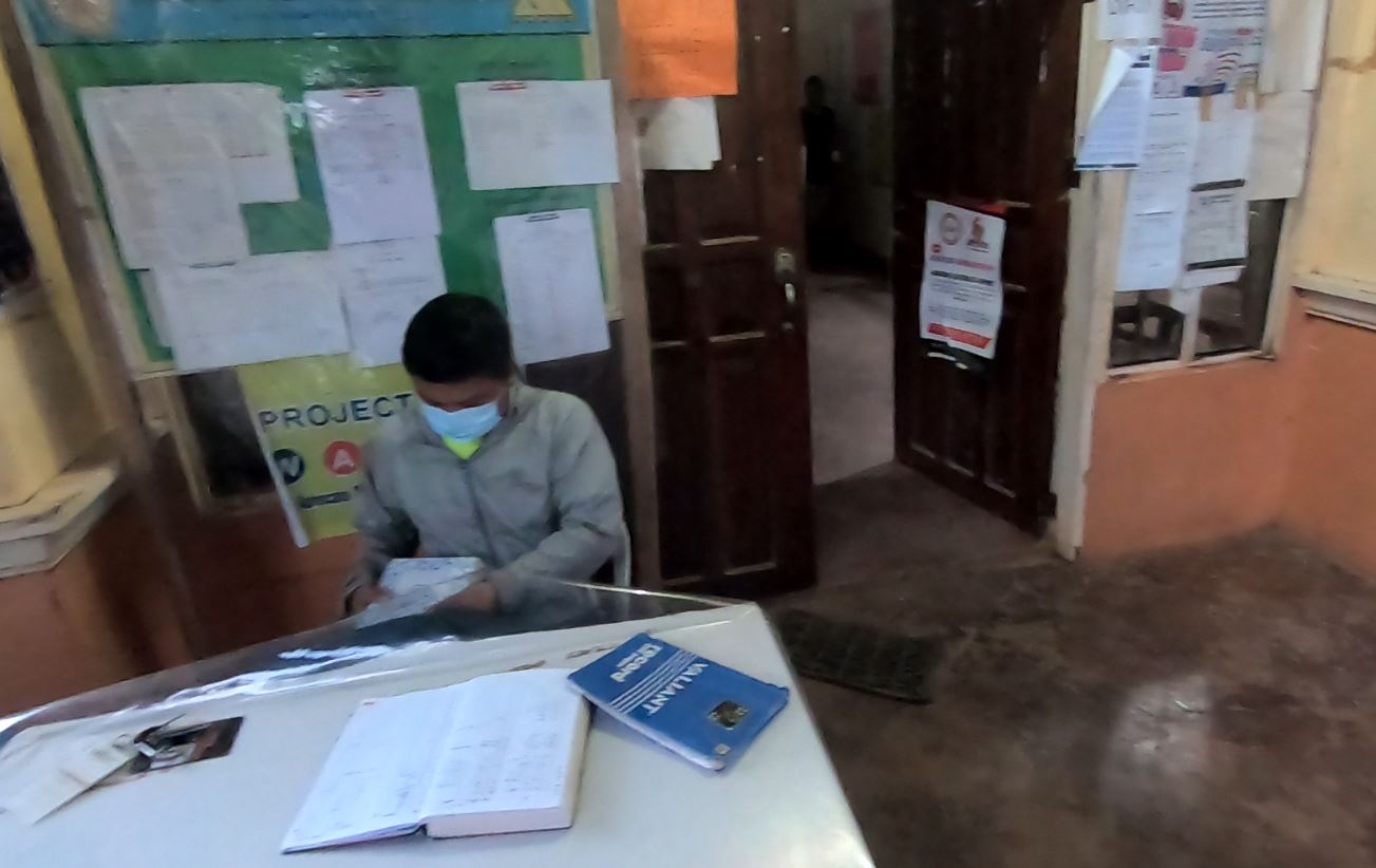
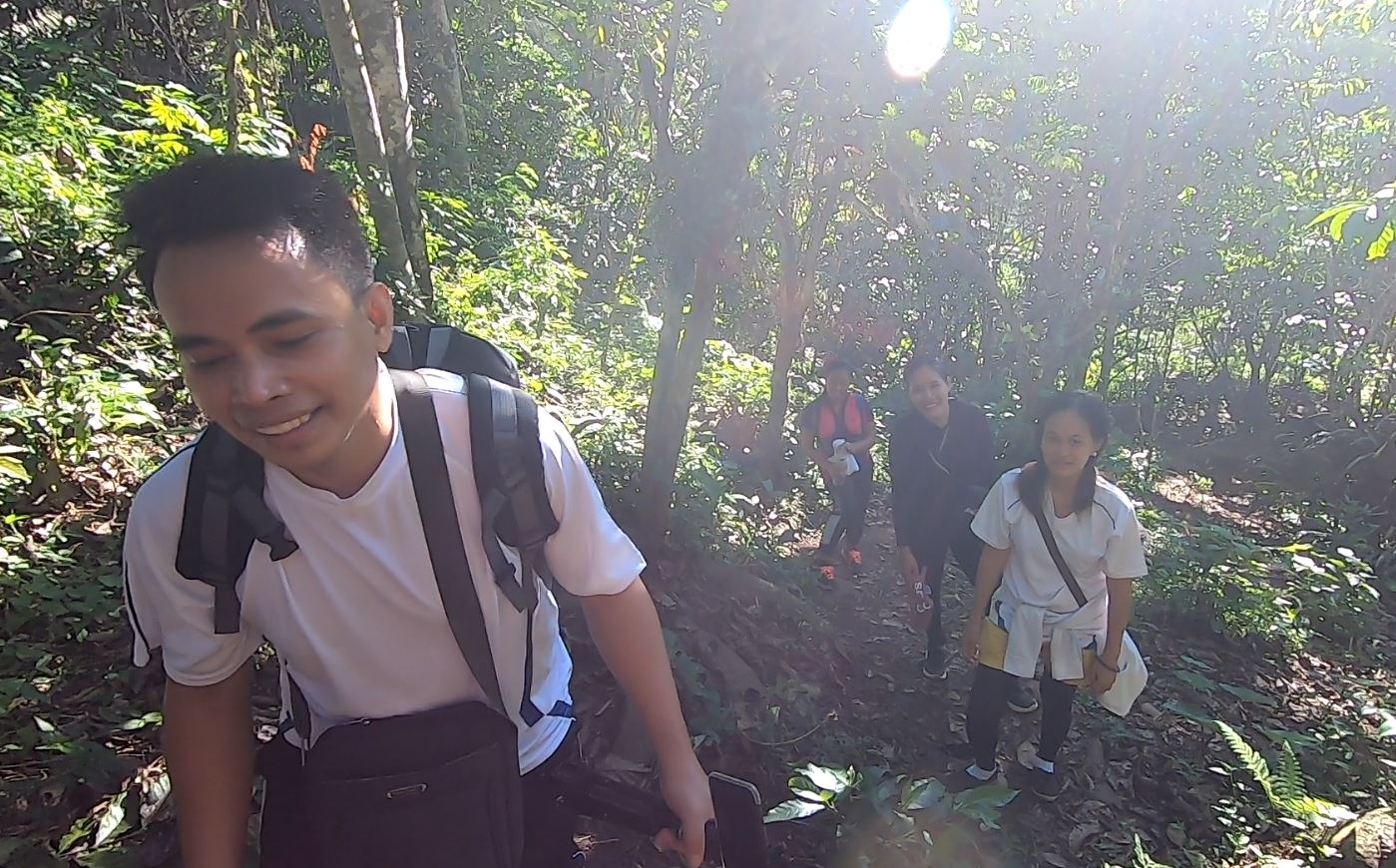
Then, they assign a local guide for you.

Mariz Ono Angit - Local Guide, Santa Cruz, Davao del Sur
After paying the fees, they will introduce you to your local guide, who will assist you throughout the whole duration of your trek. If you go overnight, they will do the same. Their guides have undergone the necessary training to make sure you are in good hands.

Shout out to our excellent local guide, Mariz! (in the photo above)

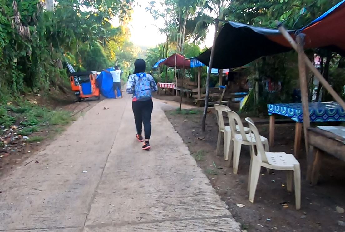
Right after a short orientation, you officially begin your trek (the first 3 kilometers is the easiest part).

Mount Dinor Trail
The first three kilometers is an easy one. You will just trek on an even trail, passing several houses of friendly locals along the way, all the way to the hanging bridge of the Pilan River, which is an attraction in itself.

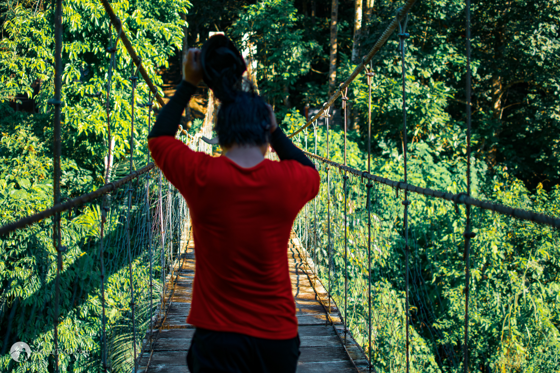
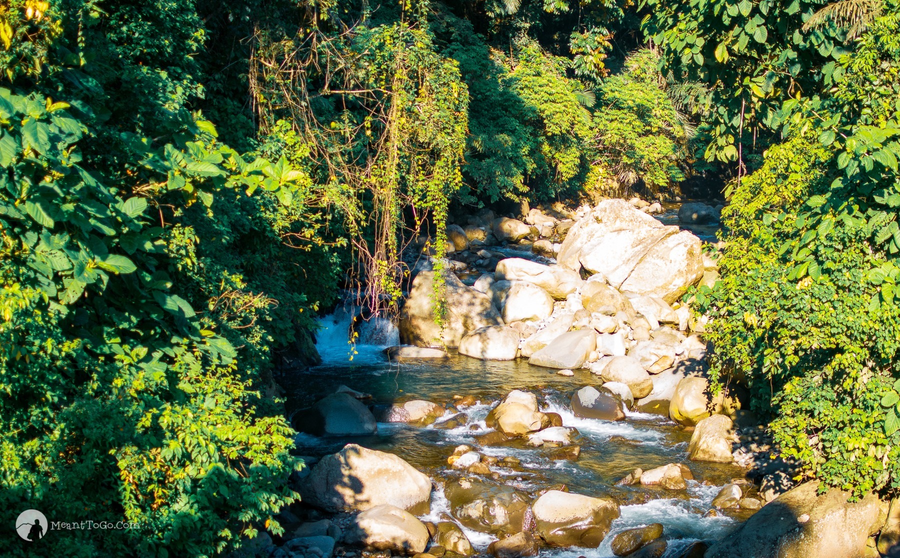
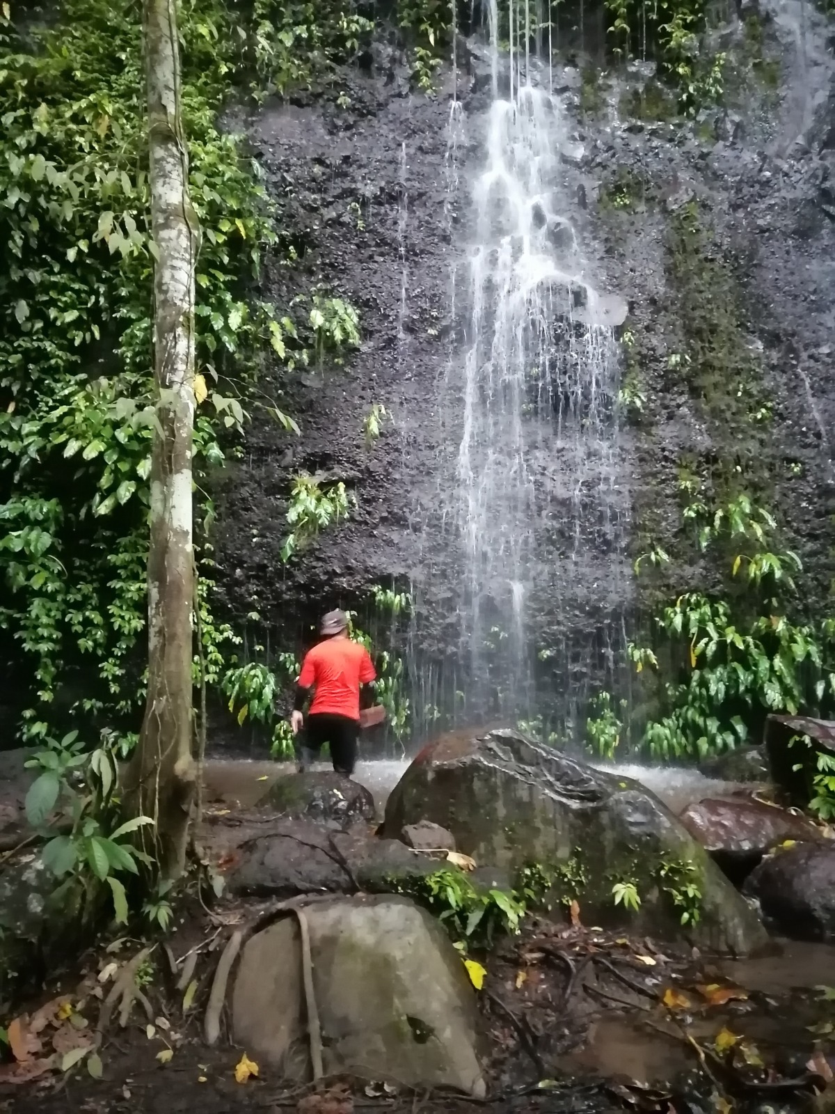
3.5 km into your trek, you will be crossing a hanging bridge. Don’t forget to pause and enjoy the view of the river,

Pilan Bridge in Barangay Sinoron, Santa Cruz, Davao del Sur
You continue your journey passing on the footbridge crossing the Pilan River, but do not forget to linger for some moment to enjoy the beauty around you.

and rock formations,
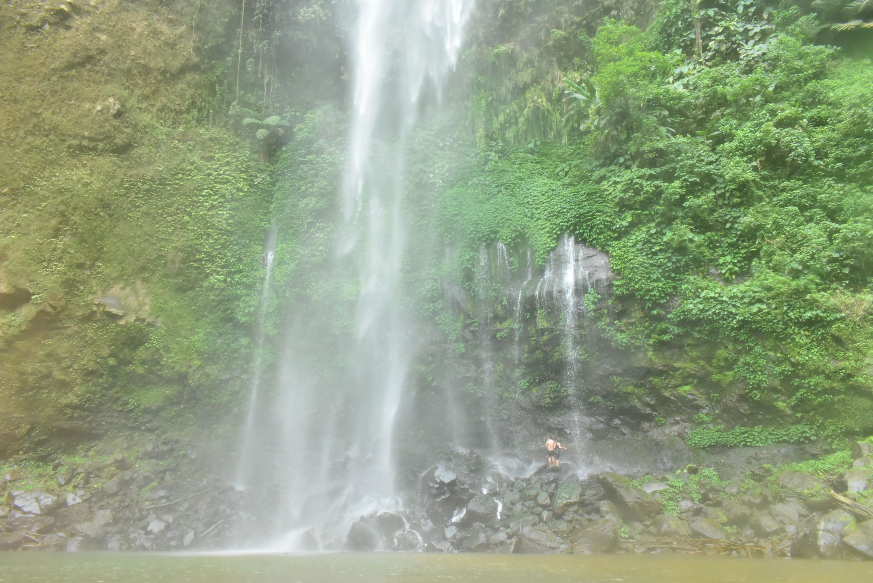
rock formations - pilan river

and waterfalls too.

Mini Asik Asik at Pilan River Eco-Park
This is Pilan River’s Mini Asik-asik – just a 10-minute river trek from the bridge.

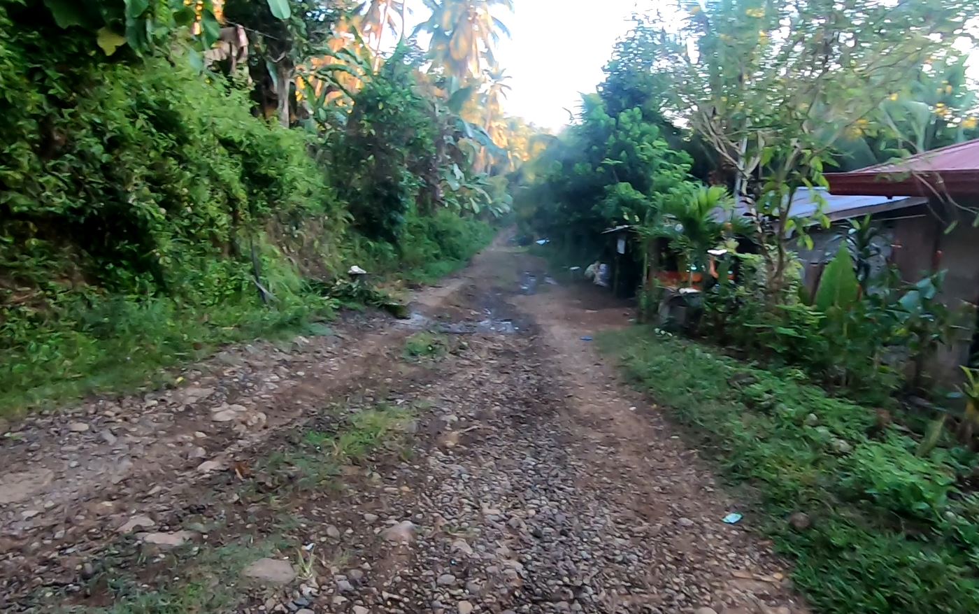
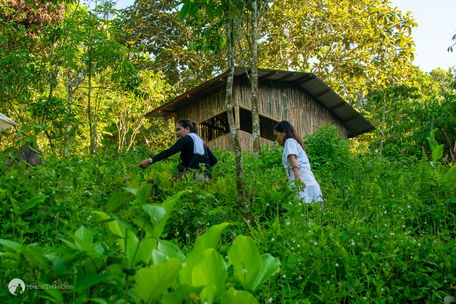
Moving on, don’t get dismayed that there are no established stations.

Mount Dinor grassland trail
As you continue your trek, you will realize that there are no established stations along the trail, which could serve as a resting place and markers, giving you an idea of how far you have come to reach the peak.

Because there are several houses along the way, offering some refuge.

Houses along the trail of Mt. Dinor
Thankfully, there are several houses you can pass by, moving on. These houses have stores where you can buy food, snacks, helping you get recharged. These residents also serve coffee, buko, and other items.

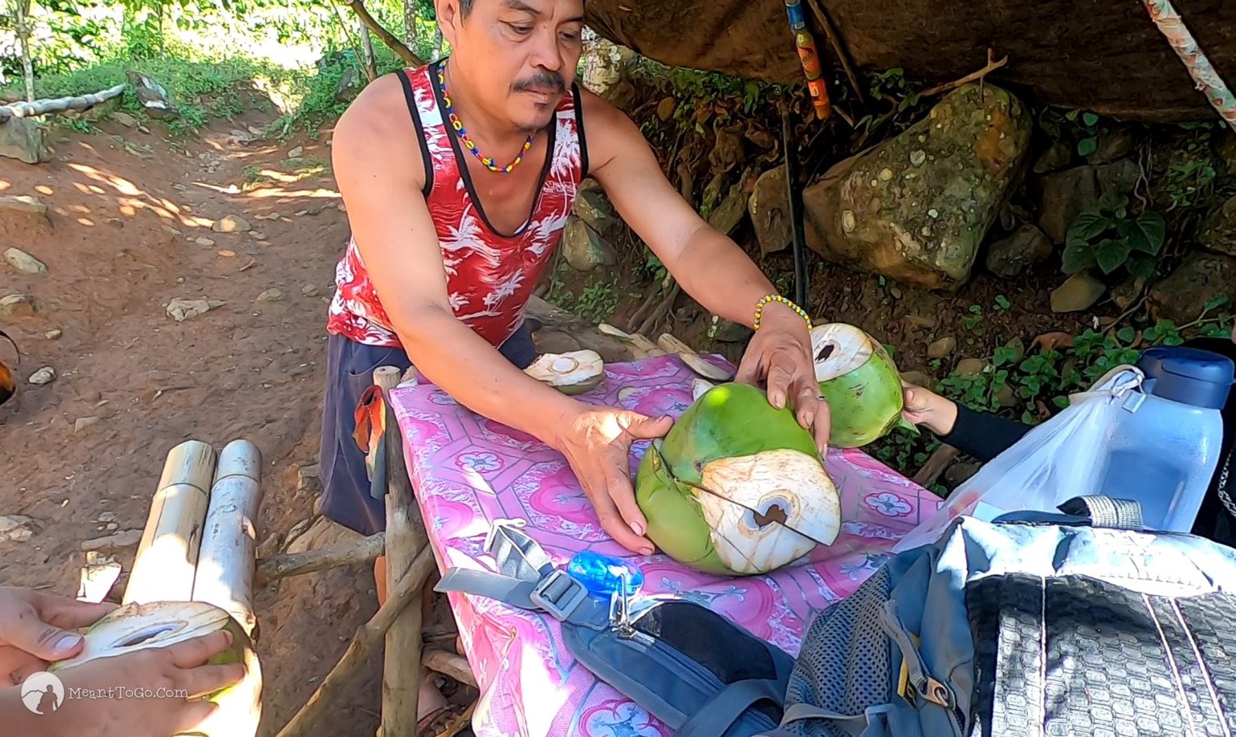
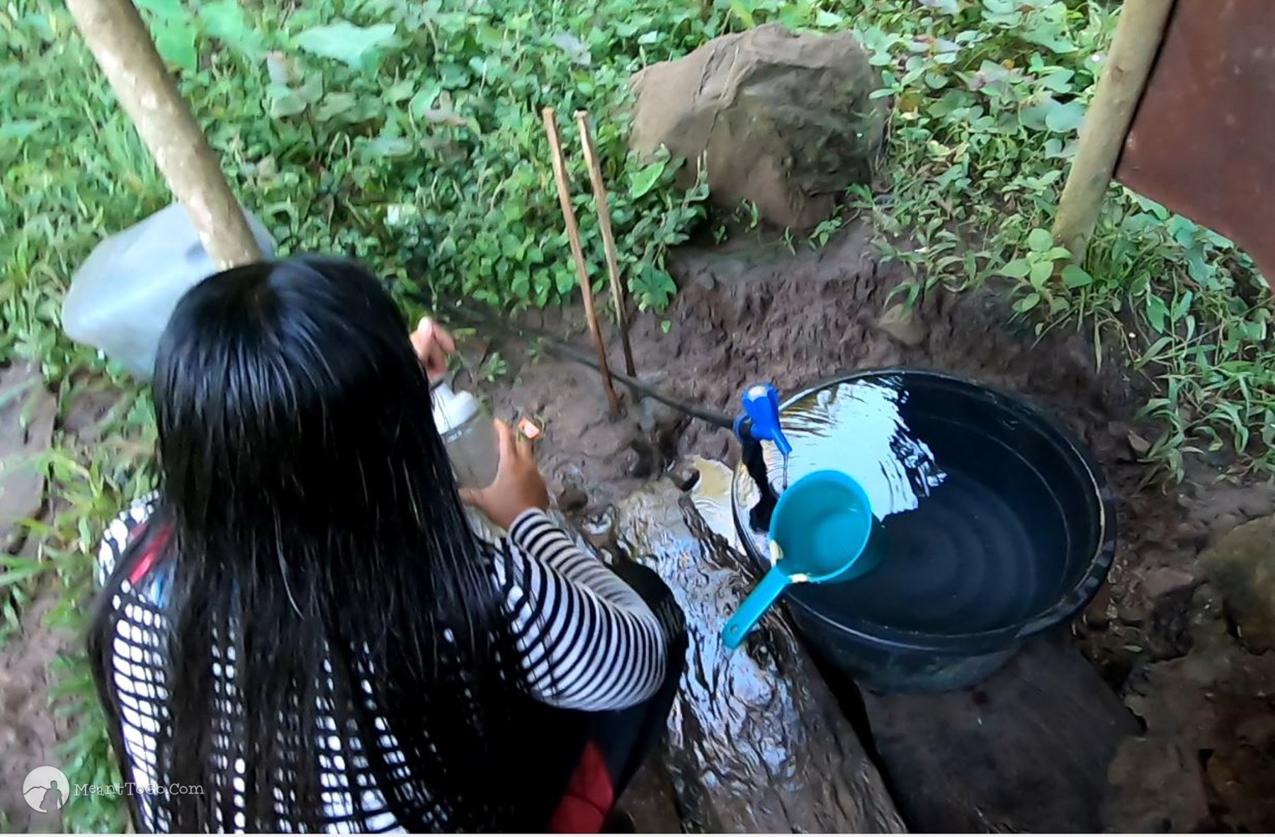
And you will breathe a sigh of relief knowing that there are plenty of potable water sources along the trail, helping you get replenished.

water source along the trail of Mount Dinor
While you are taking some time to rest at these houses, do not forget to re-fill your water tumbler. No worries, their water is good, safe, clean as it is sourced underground (no pollution in the area).

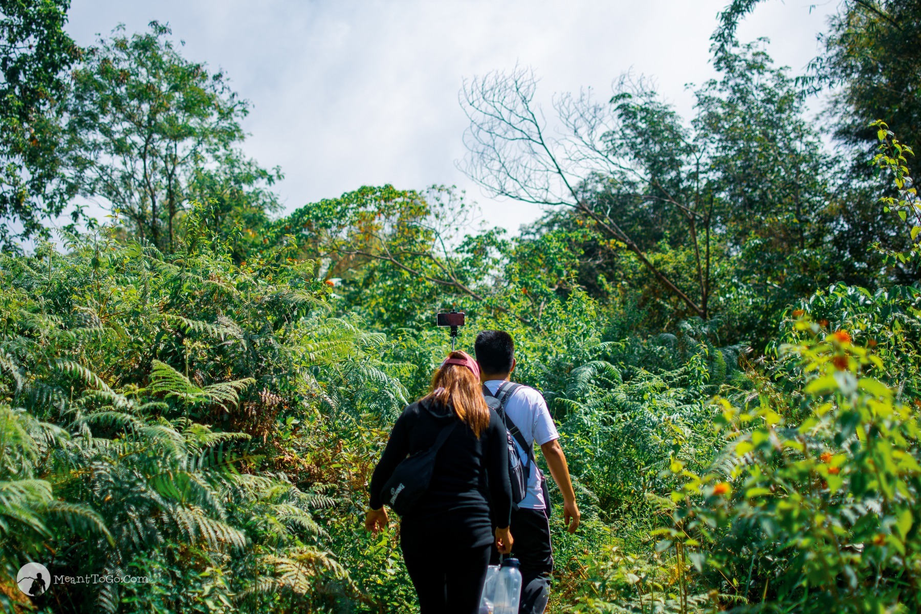
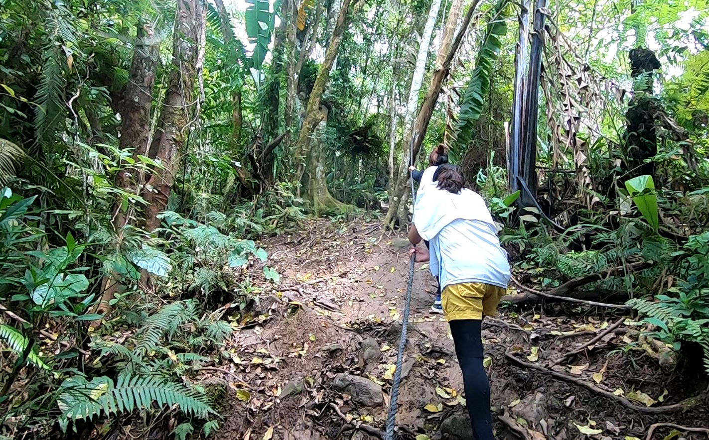
And be ready for steep ascents again,

Trail going to mount dinor in Santa Cruz, Davao del Sur
As several parts of the trail are expectedly steep, you may want to consider bringing a staff. It can be a big help most especially if you are a beginner.

and conquer moments of struggles,

Traversing Mount Dinor Trail
The trail has varied features – some are an open expanse of grassland, dotted only with occasional trees that provide relief from the scorching sun. Other parts are rocky trails under the canopy of trees towering before your eyes. There’s a part that requires a river trek and some parts are slippery, requiring utmost care.

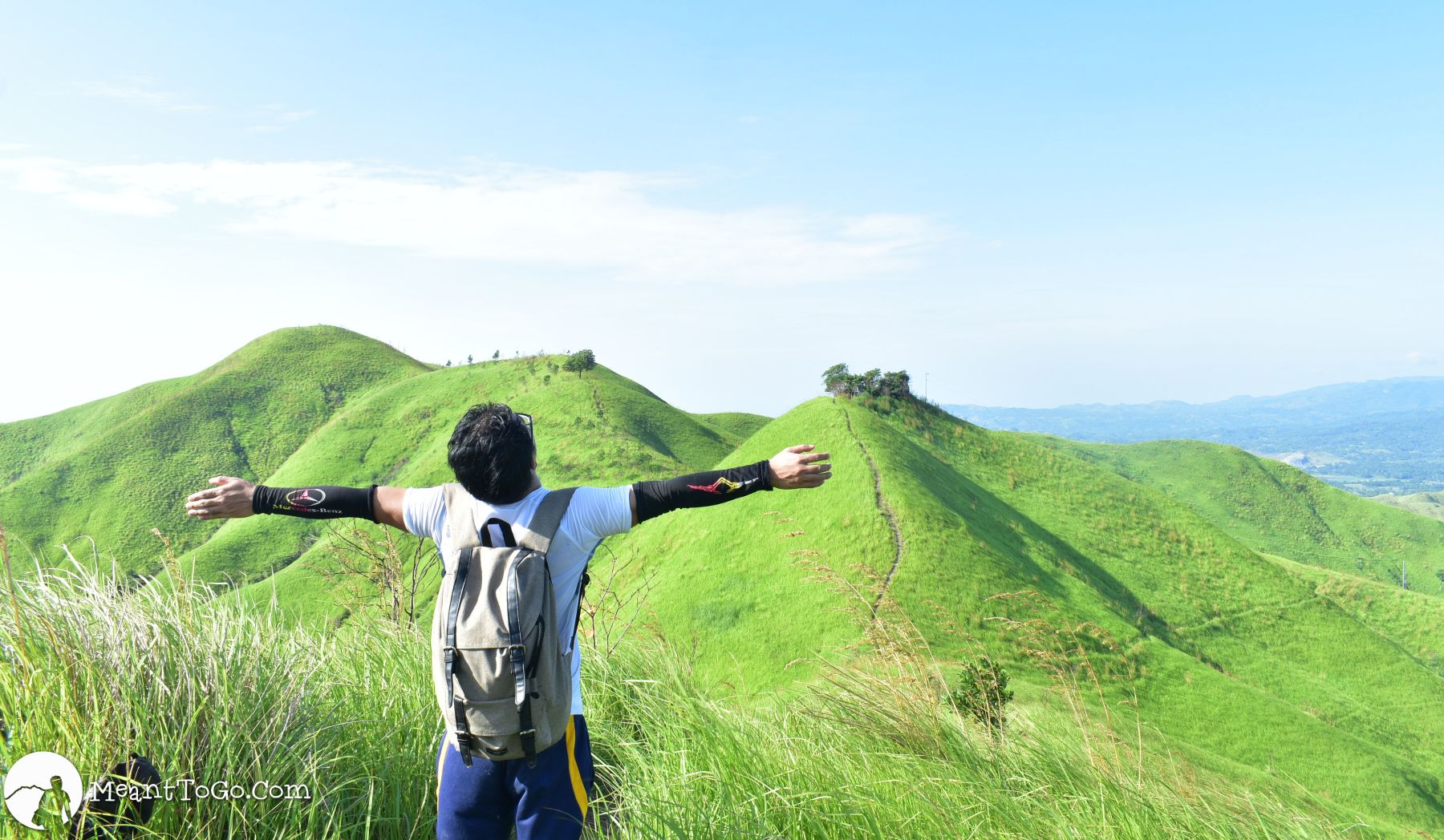
and to enjoy the breathtaking vistas along the way

Breathtaking vista of Mount Dinor
You might be concentrating so much on the trail that you forget to notice the things around you – breathtaking panoramas of mountain ranges that you cannot afford to miss.

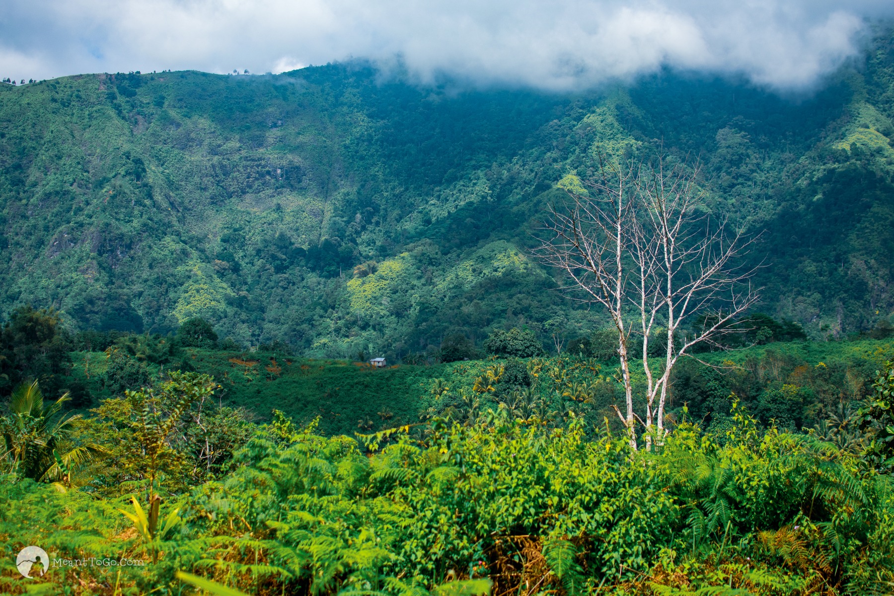
and canopies of greens too.

One of the trails of Mount Dinor in Santa Cruz, Davao del Sur
As mentioned, the trail isn’t all bare and sun-exposed. There are parts where you can pass under dense canopies of leaves from towering trees. Bamboo trees along the way are a thing to behold too.

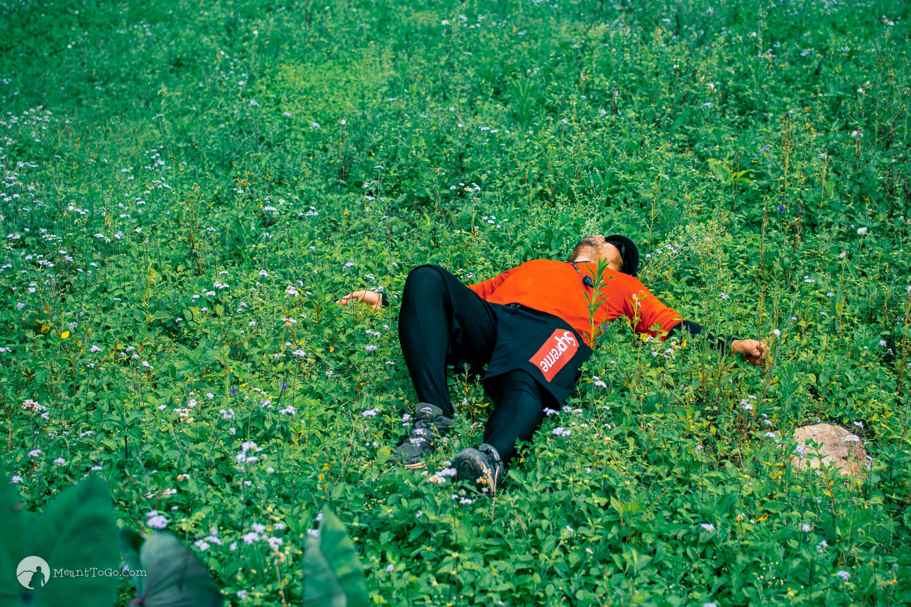
And how about a blanket of greens to rest?

Grassland - Mount Dinor
And not only the panoramic view, do not forget the small details too – just like this blanket of greens along the way, where you can take some rest to recharge.

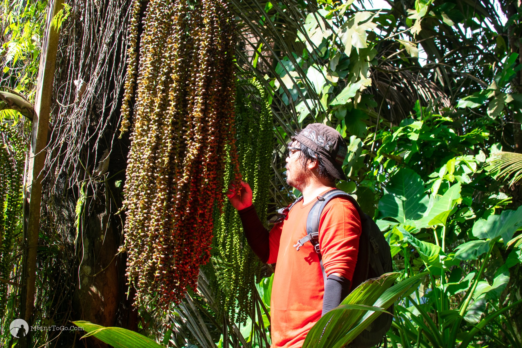
And exotic plants such as the one below?

Kaong - an exotic plant found in Mount Dinor, Santa Cruz, Davao del Sur
This palm tree variety called Kaong (yes, that thing you see in your macaroni salad) is abundant around the area; this is one of the sources of income of the locals.

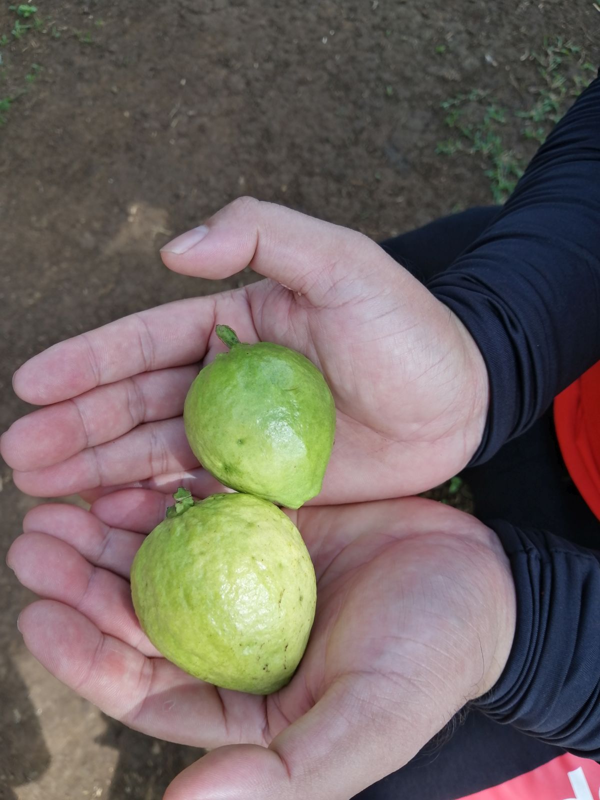
And, if you get more luck, some edible fruits too.

Guava along the trail of Mount Dinor in Santa Cruz, Davao del Sur
There are some guava trees along the way, and if you are lucky, you may find some ripe ones to pick, ready to eat.

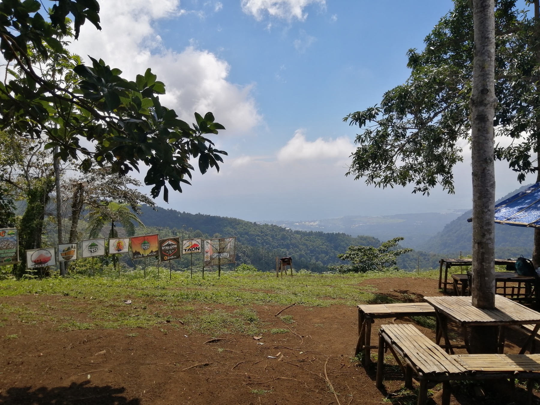
Nearing the summit, you will pass by four campsites

Marker for campsite 1 at Mount Dinor
Approximately 500 meters away from the summit are four different campsites to choose from, where you can stay overnight. The above photo shows a marker for the first campsite.
Campsite in Mount Dinor, Santa Cruz, Davao del Sur
Shown above is one of the campsites in Mount Dinor – an ideal place to take some rest and enjoy the view of the surroundings.

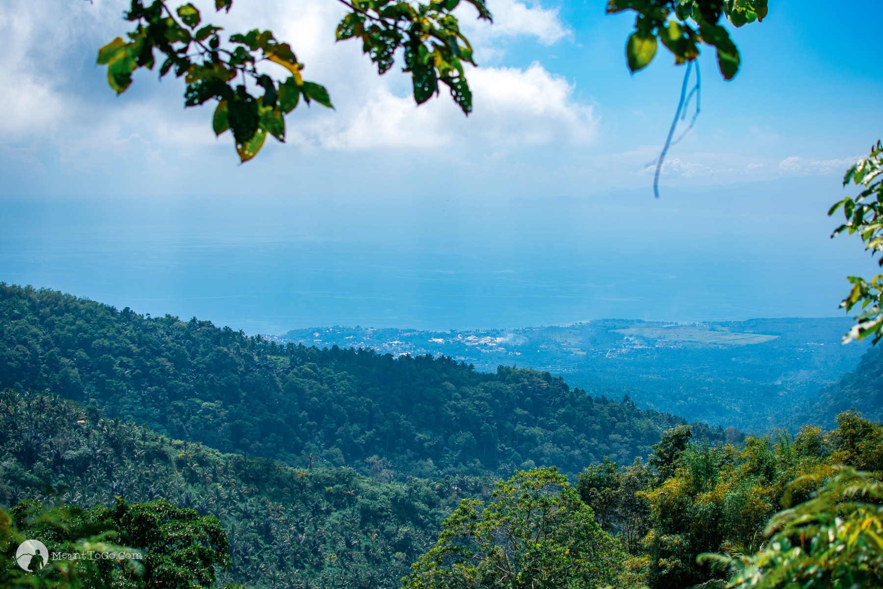
and, should I still mention seas of clouds?

sea of clouds at Mount Dinor
Sea of clouds and fogs will greet you at the campsite area, most especially when it’s drizzling. And, expectedly, the temperature drops at this altitude too, which soothes your aching body from the hike.

And, when the clouds clear away, you see the vivid panorama of the Municipality of Santa Cruz

Panoramic view of the municipality of Santa Cruz as seen from Mount Dinor
The campsite area also offers a panoramic view of Santa Cruz without obstructions. And the Davao Gulf beyond. Indeed, a wonderful treat for hikers!

Now, after taking some rest at the campsite area, it’s time for the final stretch to the summit

The trail near the summit of Mount Dinor in Santa Cruz, Davao del Sur
The final stretch to the summit is also the hardest (at least to me). It is slippery, mossy, and, when it rains, a favorite spot of leeches.

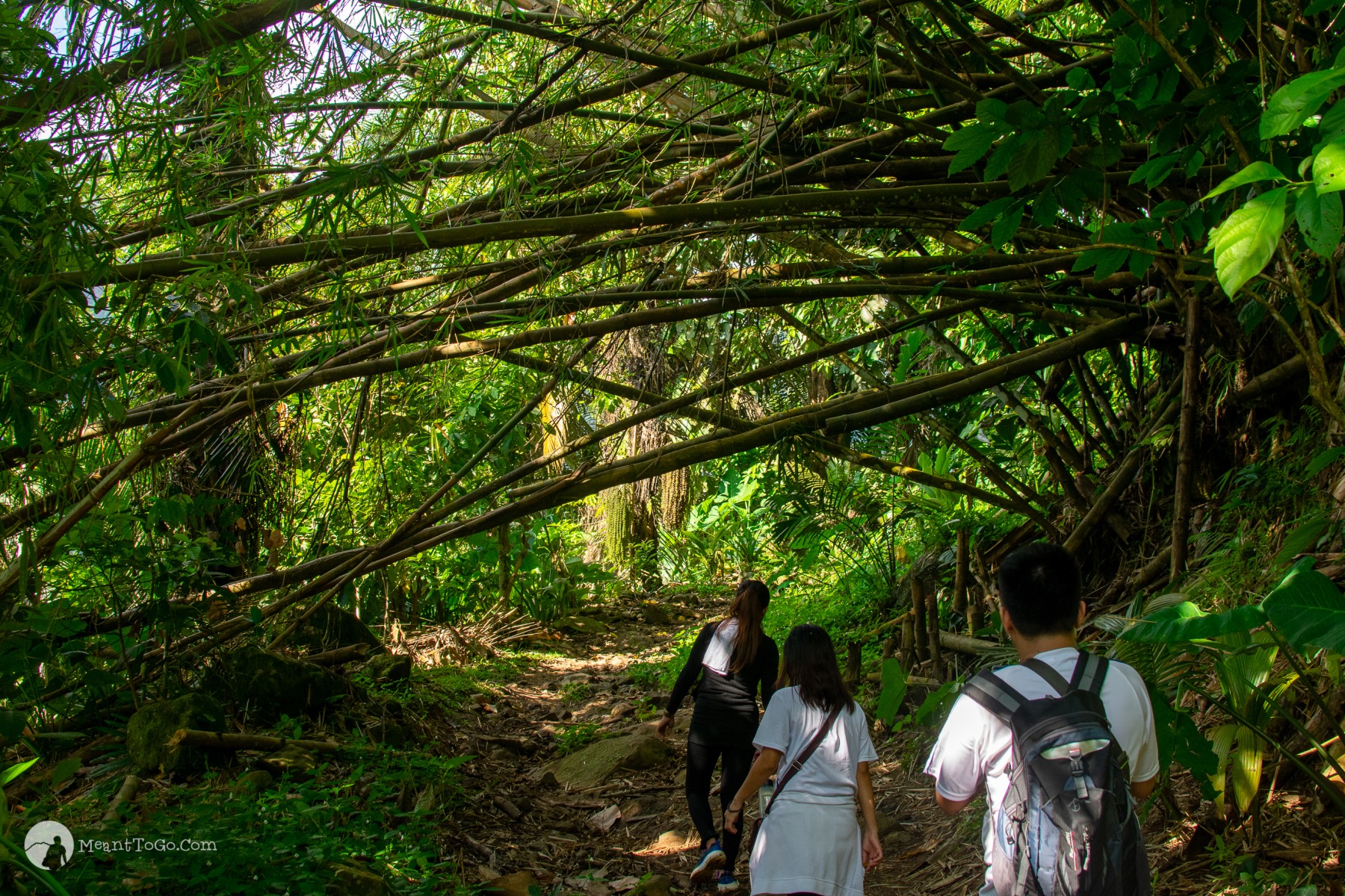
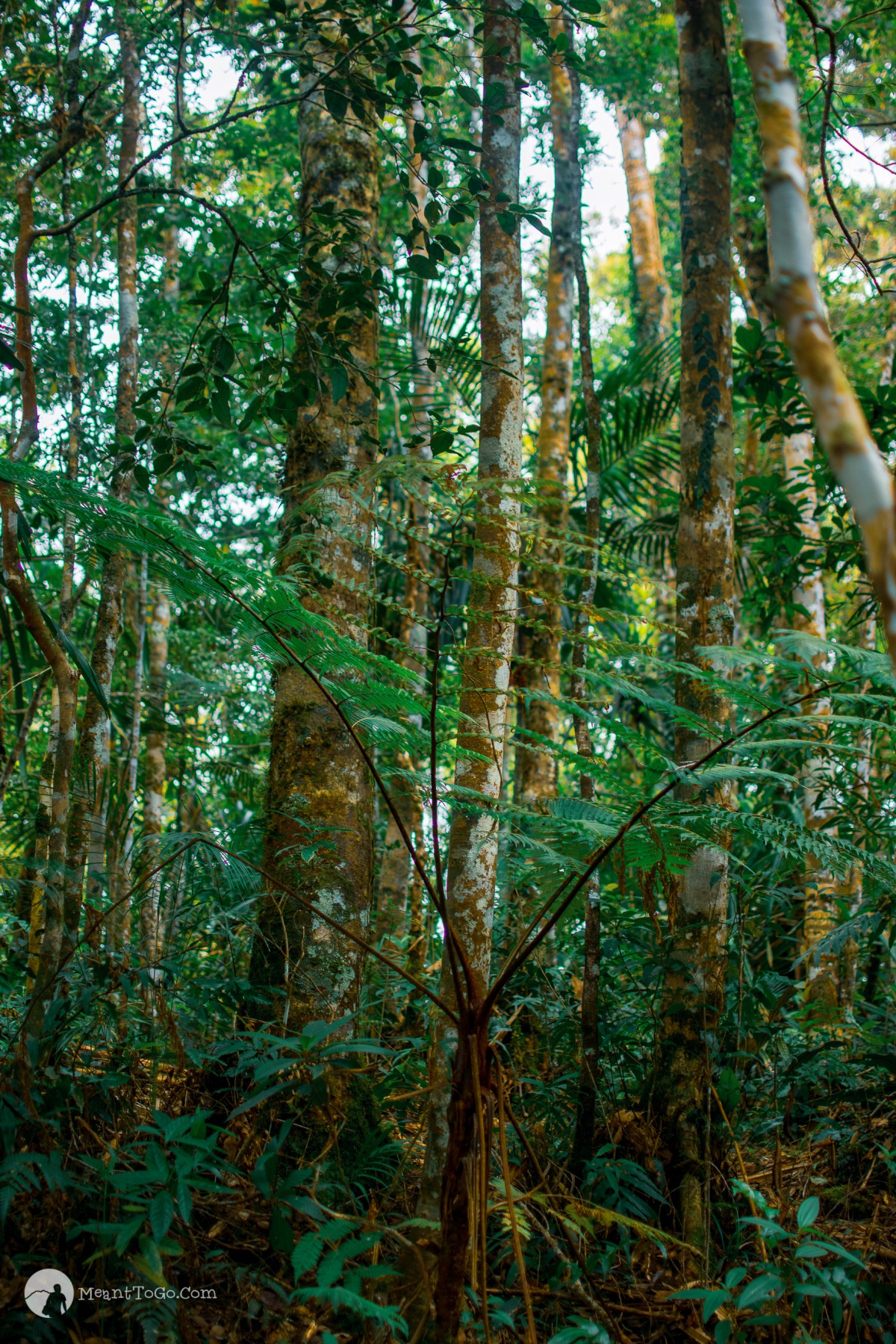
You will be traversing under the shade of towering trees

towering trees near the summit of mount dinor
Lots of towering trees of different varieties cover the peak of Mount Dinor. That means you cannot see a panoramic vista from the summit. It is beautiful all the same.

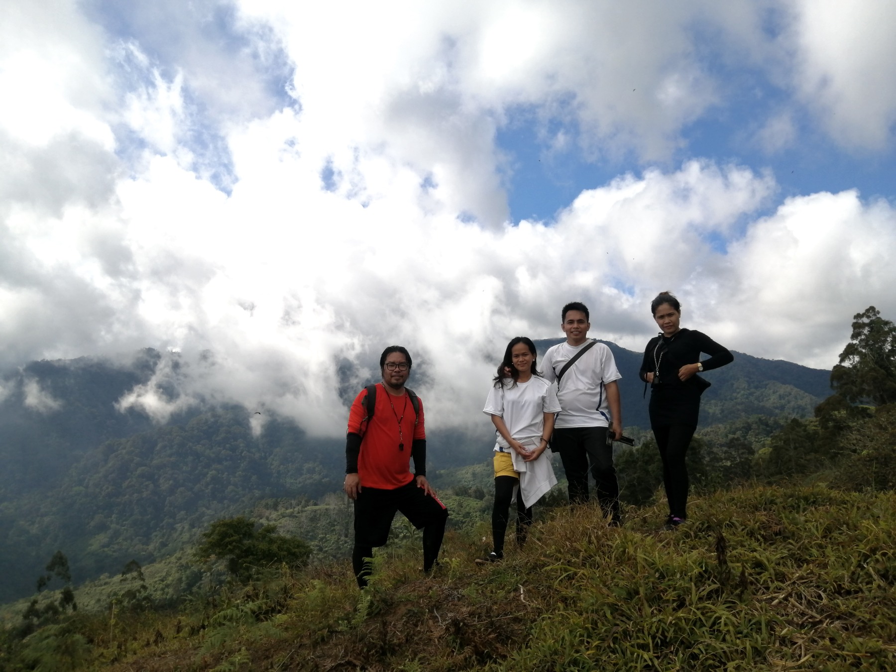
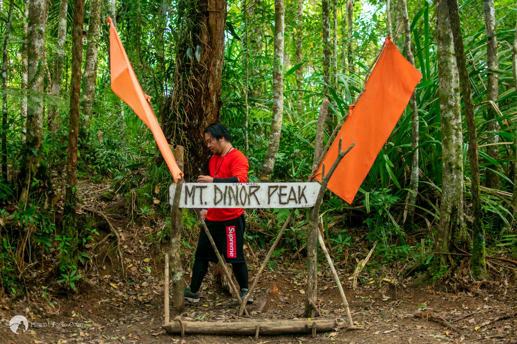
You conquer the summit!

Mount Dinor Peak in Santa Cruz, Davao del Sur
A marker has been placed signifying that you have reached the summit of Mount Dinor.

How To Get There

  1. From Davao City, head to Ecoland Terminal to hop on a bus bound for Digos (or any bus going south)
  2. Alight at Santa Cruz proper
  3. From there, take a motorcycle (or tricycle) ride to Brgy. Sinoron
  4. Alight at the Brgy Gym, the registration site

Sample Budget

Bus Fare: 85 x 2 = Php 170
Motorcycle/Tricycle Fare = 40 x 2 = Php 80
Registration Fee: Php 50
Tour Guide Fee: Php 200*
Food (lunch, dinner, snacks) = Php 300

Total: Php 800

Optional expenses:

Pitching a tent at the campsites: Php 50
Tour guide tip (if you’d like to give): Up to you

*Tour guide fee above assumes that you are in a group of 4. The minimum tour guide fee is 800 pesos (which means if you are going alone, you will pay 800 pesos. The tour guide fee for a group of 5 is 1000 pesos; additional 200 pesos per person after that.

Some Tips!

TIP #1: If you are an occasional hiker like me, I would suggest you go for an overnight trek (I would have done the same had I known more about the trail in advance). As mentioned above, the hike took us more than 12 hours. We were not able to enjoy the side trips that much, including the rock formations and Mini Asik-Asik.

TIP #2: If you choose a day hike, start as early as 5 AM so that you have more time for it, and the chances that you complete the trek before sunset are high.

TIP #3: Use proper trekking wears for more protection from the scorching sun, scratches from shrubs along the way, and insect bites. Of course, use hiking shoes too.

TIP #4: There are sources of clean, potable, underground water along the trail, so bringing just a container or tumbler should be okay.

TIP #5: You may also consider bringing alcohol spray not just for sanitizing purposes but for leech removal, just in case. The trail reaching the summit is steep, a bit slippery, and mossy – leeches’ favorite spot.

TIP #6: As much as possible, you bring just what is necessary for your trek. Every pound fewer counts for a lighter, easier climb.

TIP #7: A flashlight (phone app will do) is necessary. It is your only source of light should you need to finish the trek after sunset, in a pitch-black trail.

TIP #8: You are not allowed to take home with you any types of plants unless they are grown by and asked from the locals themselves.

Santa Cruz Tourism Contact Information

Phone: +639171802365; +63920 856 7991
Facebook: https://www.facebook.com/StaCruzTourism
Website: https://tourismstacruz.com/

Leave a Reply

Your email address will not be published. Required fields are marked *